Death Valley and Extensional Faulting
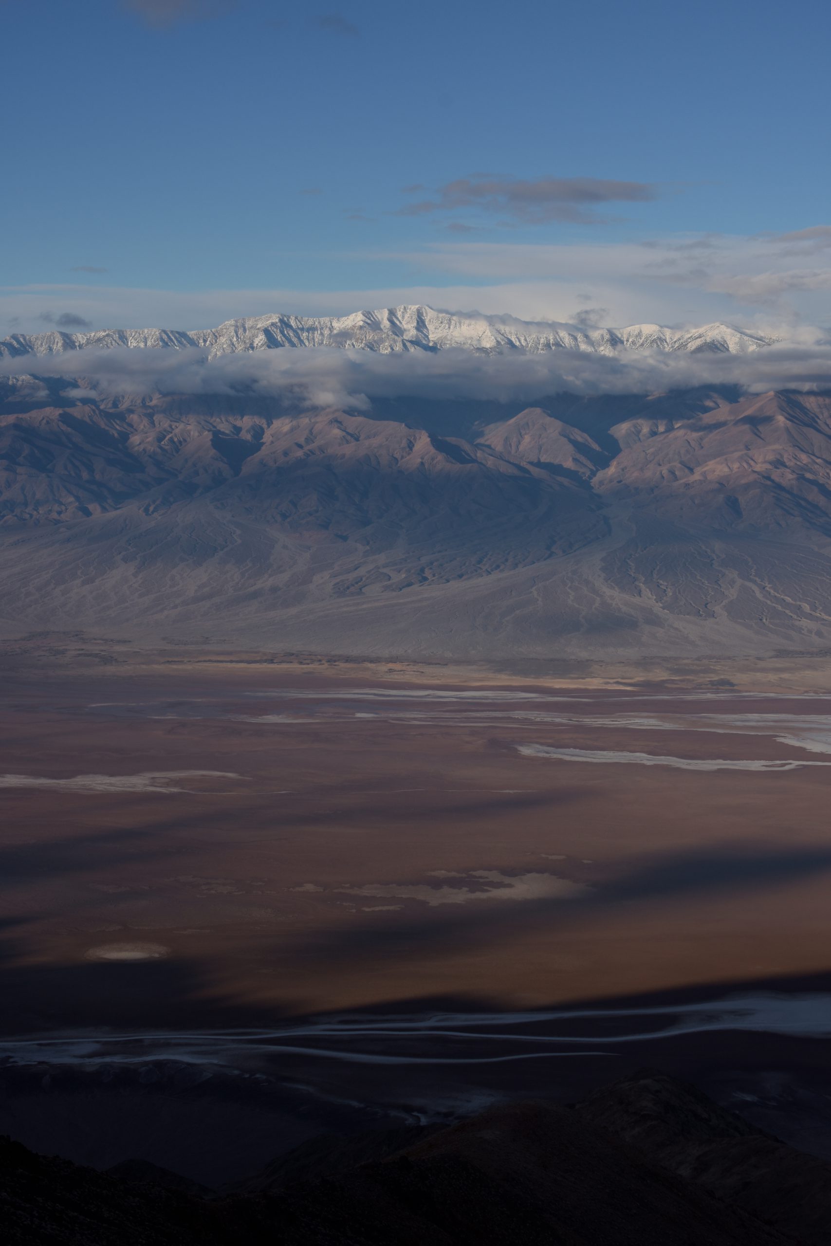
In one of my last posts, I talked about normal faults, and I touched on the term, extensional faulting. Death Valley NP offers an example on a massive scale and is happening so fast it has created the lowest point, Badwater Basin, in North America, at 282 ft below sea level. Just as at the Tetons, normal faults are in play in the picture below (Fig. 1).
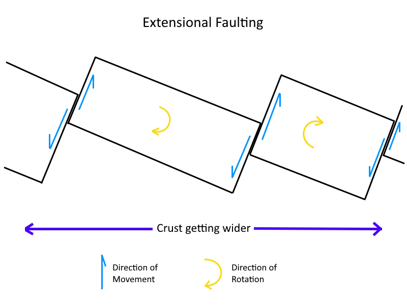
When the earth’s crust is being stretched, it begins to fault into blocks that rotate in order to compensate for the ever increasing distance. As this rotation occurs, one side of the block drops down as the hanging wall of one fault, while the other side rises as the foot of the next fault (Fig. 3). This is one mechanisms for continents to grow wider, as is happening throughout the Basin Range region of the western US. What happens at depth to these blocks, I’ll cover in a later post.
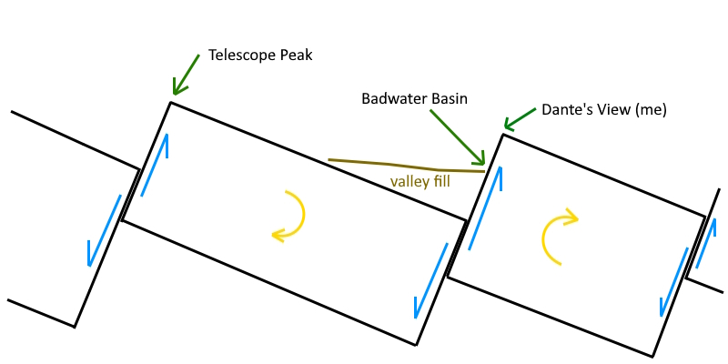
When you look across the Badwater Basin to Telescope Peak from Dante’s View, you are looking essentially directly across the entire fault block. Here is a simplified diagram from above showing the landmarks (Fig. 3)
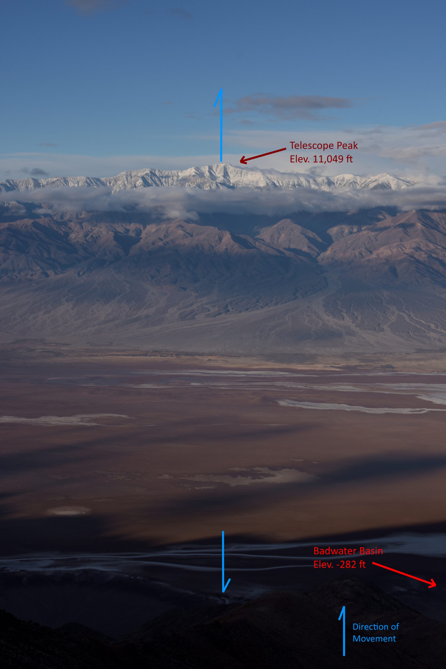
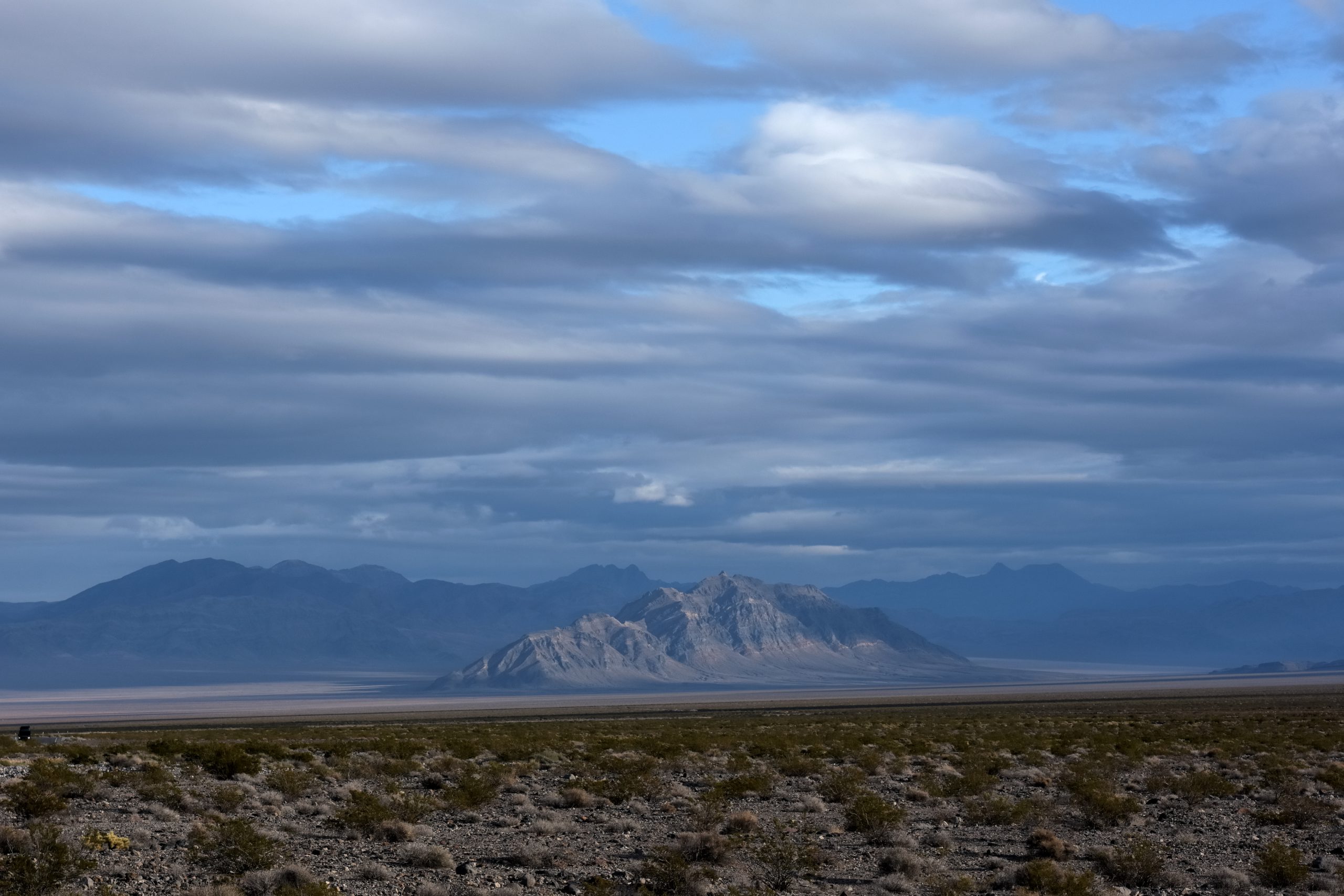
Now it’s never as simple as my diagrams show, extensional faulting leads to blocks of all shapes and sizes. Some blocks occupy tens of miles, such as the block that makes up Telescope Peak (and the Panamint Range) all the way to the floor of Badwater Basin (below significant valley fill, Fig. 4), some are much smaller (Fig. 5).
If you are enjoying my content, don’t forget to subscribe!
Other Places to See Extensional Faulting
- Basin Range (parts of Nevada, Oregon, Utah, Arizona, Wyoming, California, and Idaho)
- Eastern Sierra Nevada, California
- San Luis Valley, Rio Grande Rift, Colorado and New Mexico
References
- Roadside Geology of Nevada, F. DeCourten and N. Biggar
- Death Valley National Park Visitors Center
- Science Teaching Staff at BOMUSD
